DEVELOPMENT INTELLIGENCE
SEE DEVELOPMENT
BEFORE THE MAP
CATCHES UP.
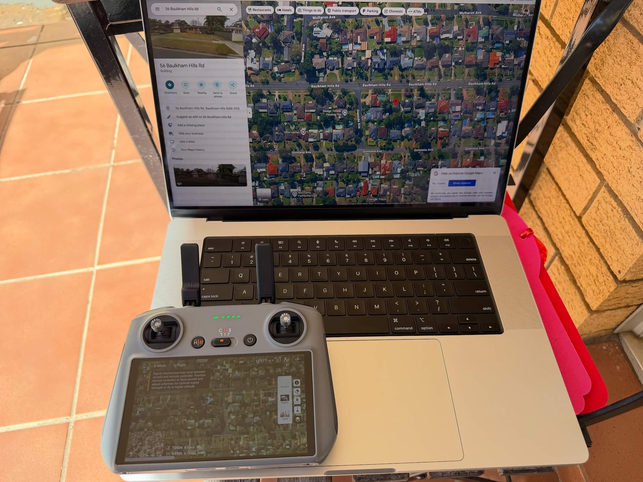
Ground Signal combines early Council data with drone verification—so the people closest to change see what is happening, now.
HOW IT WORKS ↓THE TIME GAP
PUBLIC DATA SHOWS
WHAT MAY HAPPEN.
WE SHOW WHAT IS.
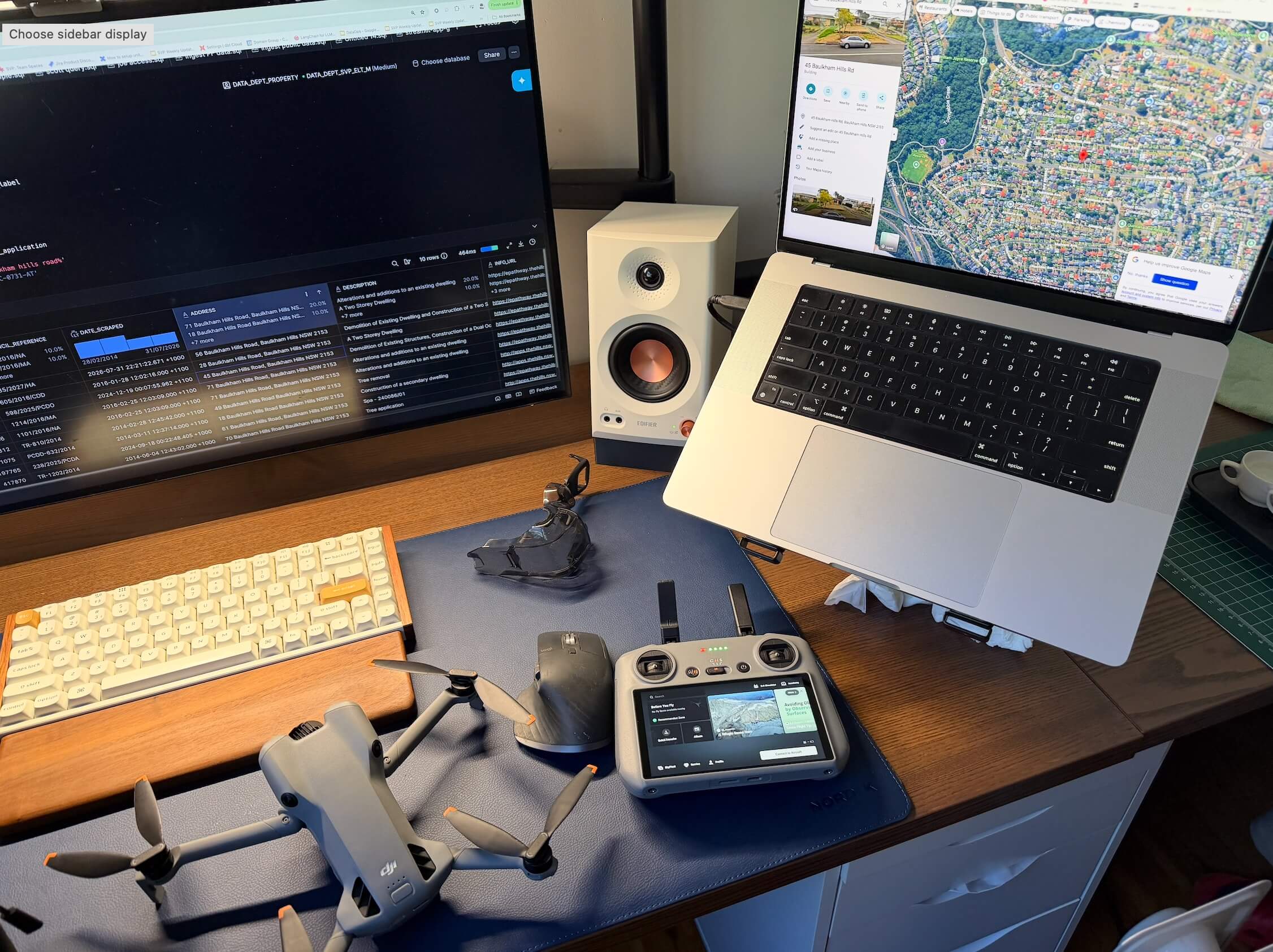
A development application may appear months before a site changes. Public imagery can remain unchanged long after work begins. Ground Signal closes that gap.
01 DETECT A COUNCIL SIGNAL02 VERIFY ON THE GROUND03 ALERT THE LOCAL AREA
REAL-WORLD PROOF
THE SIGNAL.
THE GROUND.
A static comparison between the early record and the field reality.
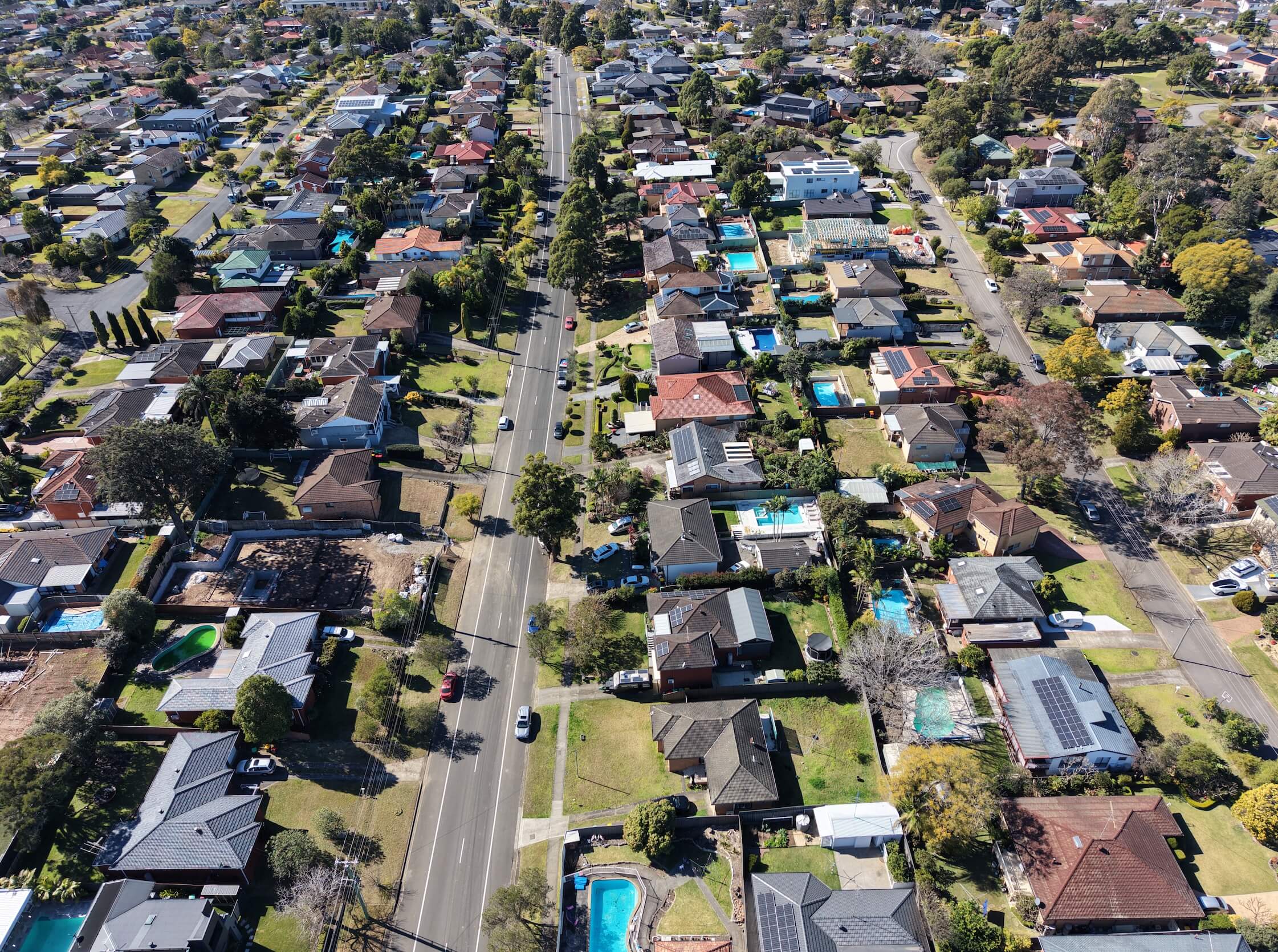
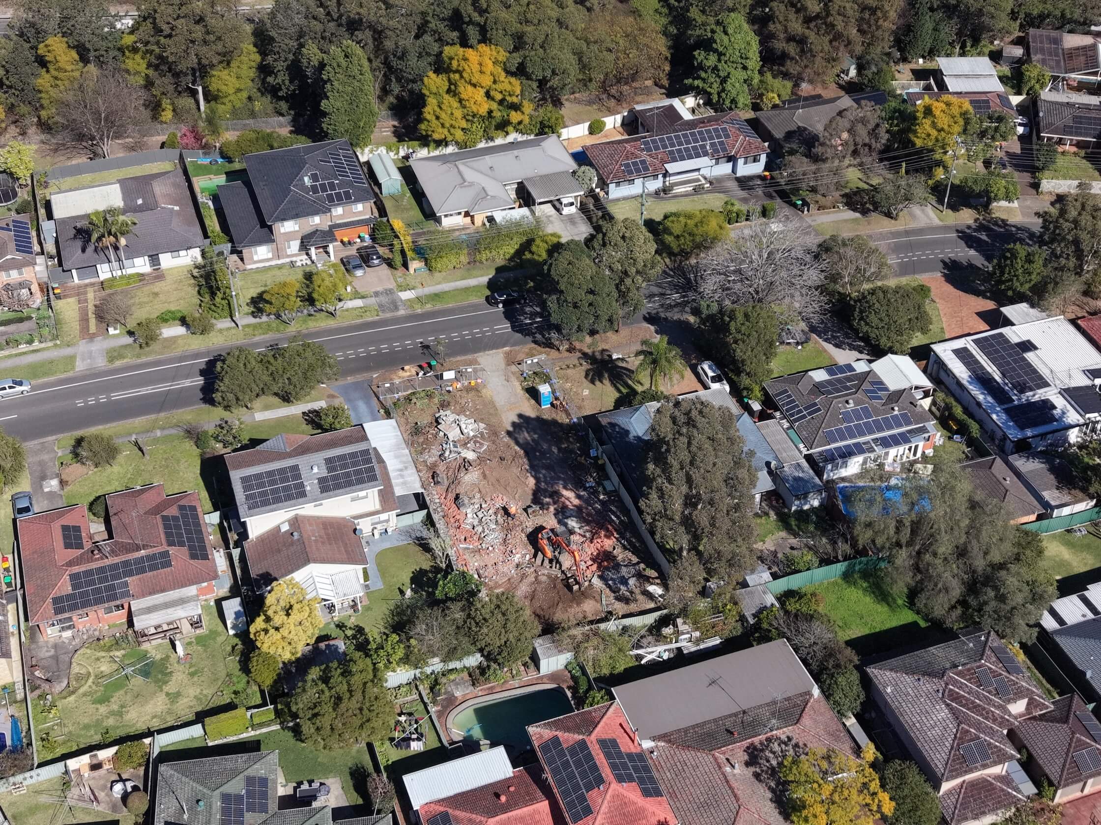
A public record becomes valuable when it is verified against the world as it is today.